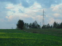
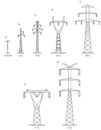
Can someone tell me where you can probably check the size of the transmission line? I have absolutely no idea whether it is a medium or high voltage network. I saw on the forum suggestions to see this map ...
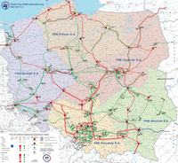
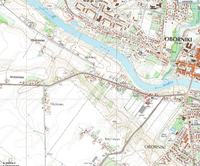
However, the enlargement does not give me 100% certainty (it is the area of Obornik Wlkp - Uścikowo Folwark to be exact).
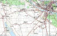
on the geoportal website (geoportal.gov.pl) I found a raster map with this line marked as follows:
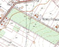
Anyone have any idea how to check it? Perhaps there is a site that provides this type of information?

However, the enlargement does not give me 100% certainty (it is the area of Obornik Wlkp - Uścikowo Folwark to be exact).
on the geoportal website (geoportal.gov.pl) I found a raster map with this line marked as follows:

Anyone have any idea how to check it? Perhaps there is a site that provides this type of information?


